ToPa 3D handles remote sensing inspections
Enhance safety, efficiency, and data quality in your inspections.• High-definition visual & thermal data for a complete asset picture.
• Faster, more consistent inspections with robots navigating complex areas.
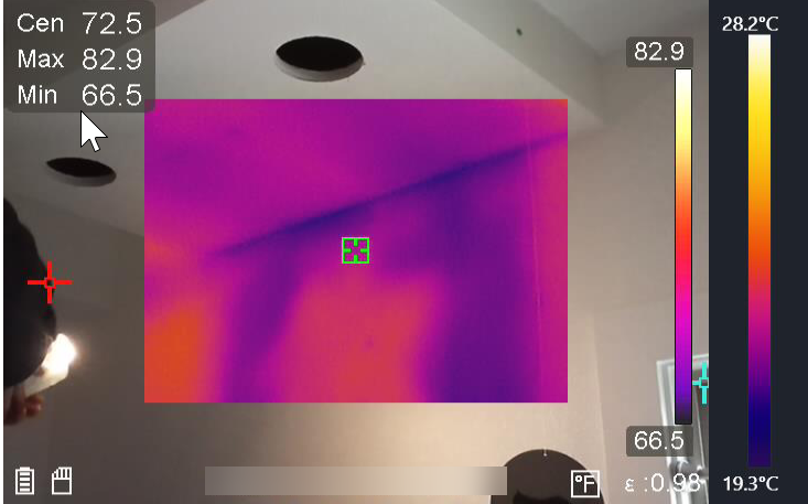
• Early insulation and moisture identification with thermography to fast-track repairs.
Our reality capture inspection data provides inspectors, building owners, and construction teams the ability to inspect areas that are normally difficult to uncover or reach. Through the use of robotics, IR cameras, standard cameras, and drones, ToPa 3D is able to capture the critical information you need while ensuring worker safety.


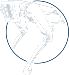
Robotics inspections
safe, consistent, inspection automation:
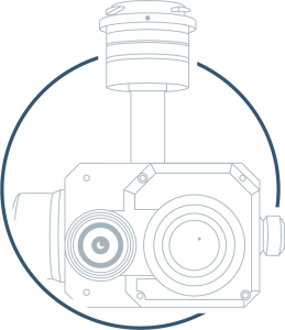
Thermography inspections
infrared moisture detection:Our thermography services utilize specialized cameras that detect temperature variations invisible to the naked eye. This makes them ideal for pinpointing hidden problems within your infrastructure. For instance, thermography can reveal water intrusion behind walls or under roofs long before visible signs of damage appear. This allows for early intervention, preventing costly repairs and potential mold growth. The technology doesn't stop there. Thermography can also identify potential energy inefficiencies in buildings, and with specialized equipment, adding another layer of safety and preventative maintenance to your property.

ground penetrating radar (GPR scanning) inspections
subsurface inspection for concrete:ToPa 3D’s approach to this project is guided by the principles outlined in ASTM D6432-19, ensuring industry-standard practices for surface Ground Penetrating Radar (GPR) investigations. Our certified technicians will perform on-site scanning using calibrated, high-resolution equipment, with an emphasis on safety, accuracy, and minimal disruption to ongoing activities. Following fieldwork, we will provide a clear, concise reporting package that includes annotated site images, marked locations of detected subsurface features, and summary notes for each scanned area. Deliverables can be tailored to the needs of the project team and may include both digital and hard-copy formats to support informed decision-making in the field.
The Inspections Process
Planning
Collection
Our chosen technology goes to work. Robots navigate capturing high-definition video and thermal data. IR cameras scan surfaces for temperature variations. LiDAR scanners map the environment, creating a 3D model.
Reporting
Our experts analyze the data. For robotics and IR, we review video and images, identify issues, and generate reports with recommendations. Point cloud data is processed for definitive measurements. Through the creation of a 3D model, we present a clear report with visuals to guide your decisions.
See What RObotics can do

Tools we use for Remote Visual Inspections